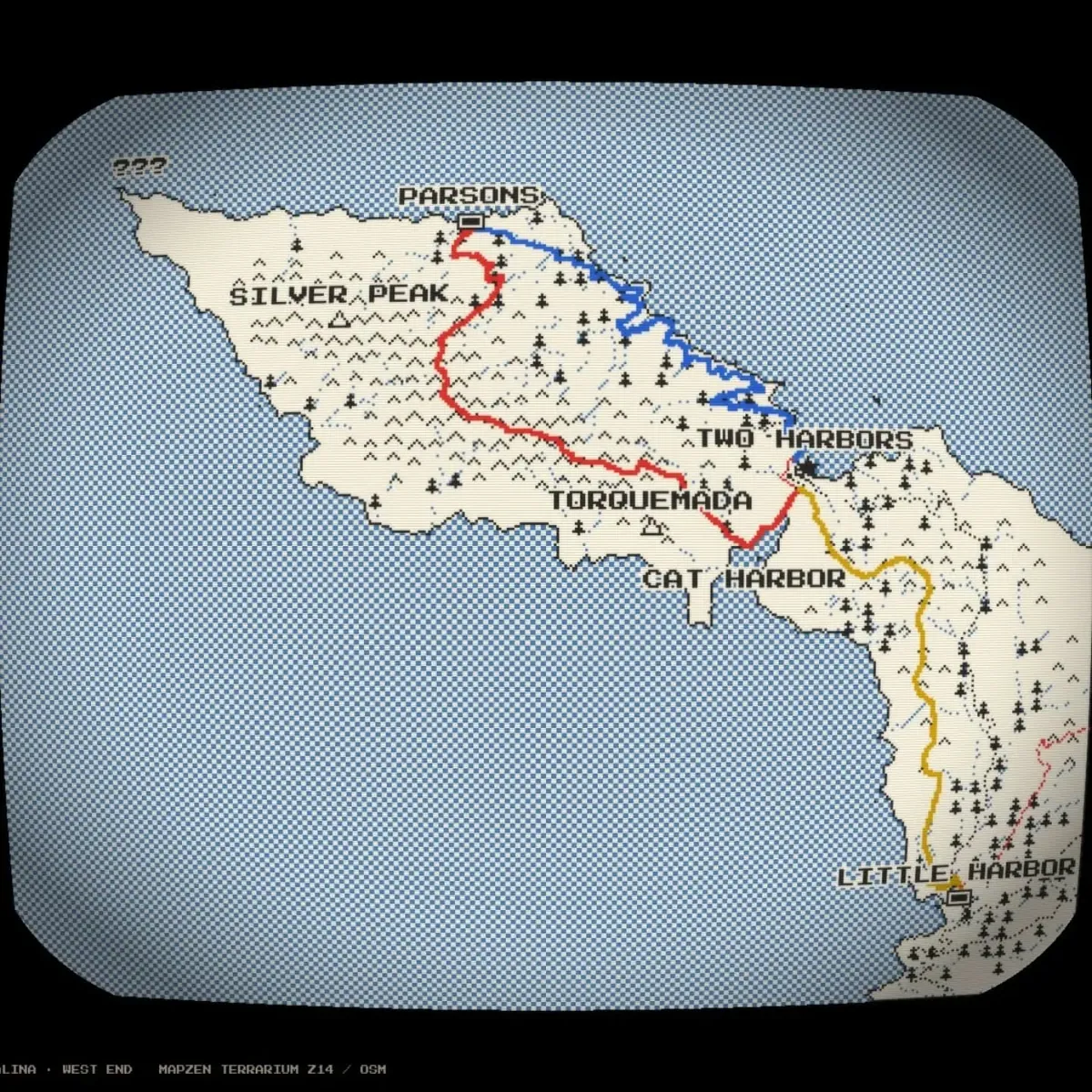
Retro pixel-style map of western Santa Catalina Island with red, blue and yellow trail routes between named harbors.
A stylized map framed like an old CRT screen shows the west end of Catalina Island in cream with tiny tree icons over blue dithered water. Colored lines trace three route legs linking Parsons, Two Harbors, Cat Harbor, Torquemada and Little Harbor.
From the post Made a little map of the three legs of our trip.
- Date
- Place
- Mount Orizaba, Santa Catalina Island, California, United States
33.38, -118.42 - Trip
- California: Newport Beach, Los Angeles and more
- Topics
- Screenshot, Travel, Trail, Nature
- Device
- Phone 3
- Size
- 1440 × 1440 px
Photo by Justin Sovine. Licensed CC BY-NC 4.0: share and adapt it with credit, not for commercial use.
The post’s caption
Made a little map of the three legs of our trip