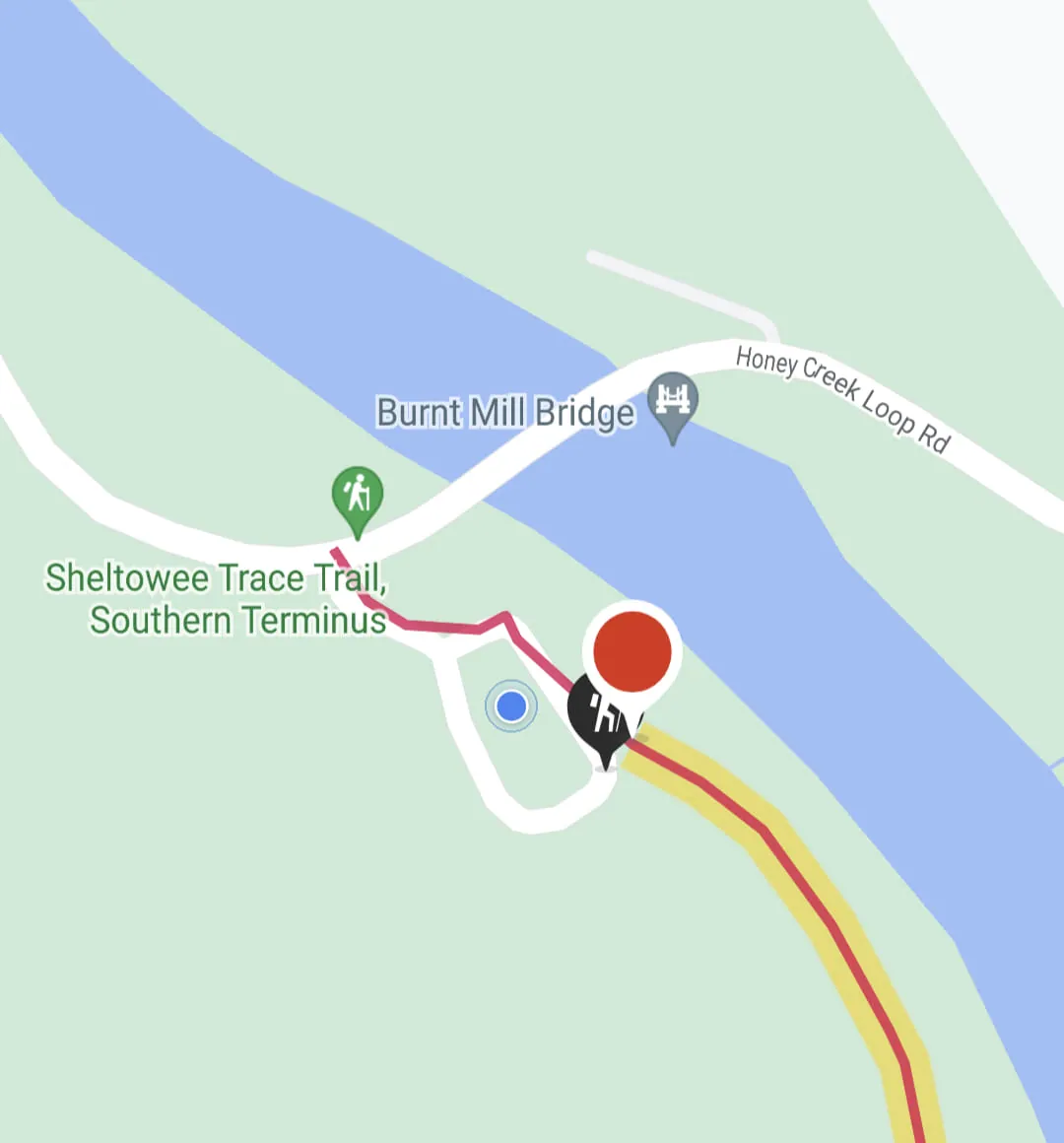
Map screenshot of the Sheltowee Trace Trail southern terminus near Burnt Mill Bridge with a red route line.
A map view shows a river in blue and green parkland, with a red-orange route line leading to a hiker icon labeled as the Sheltowee Trace Trail Southern Terminus. A bridge and a road are labeled nearby, and a red pin and blue location dot mark positions.
From the post Holy heck guys, after 11 months and 11 trips I've nearly…
- Date
- Place
- North Cleveland, Cleveland, Tennessee, United States
35.18, -84.86 - Trip
- Cleveland and Daniel Boone National Forest
- Topics
- Screenshot, Trail, Water, Travel
- Size
- 1080 × 1160 px
Photo by Justin Sovine. Licensed CC BY-NC 4.0: share and adapt it with credit, not for commercial use.
The post’s caption
Holy heck guys, after 11 months and 11 trips I've nearly finished the entire 350 mi Sheltowee Trace! I have a single 20 mi hike I'm making up next weekend, but I am so excited to be on the cusp of completing this year long goal!